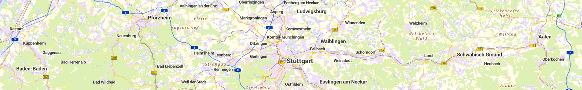
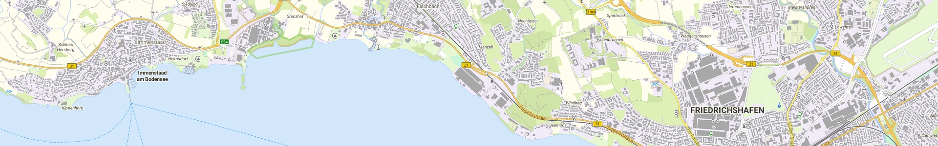
The map service basemap.de web grid is an internet map service developed jointly by the federal and state governments and provided by the Central Agency for Geotopography (ZSGT) on behalf of the states. Based on official geospatial data, it provides an attractive, Germany-wide map display in zoom levels from individual buildings to an overview of Germany. Its powerful implementation based on international standards and its modern cartographic design support a wide range of application areas.
As a basis for the creation of basemap.de web grid serve the vector maps of the product basemap.de web vector , from which raster images with the characteristics of color and gray are derived. The data bases are the basic landscape model, house coordinates and 3D building models from the federal states as well as the digital landscape models 1:250,000 and 1:1,000,000 maintained at the BKG. Other free data sources, such as the census, are used for the labels. The image archive is processed in the BKG into a high-performance Web Map Tile Service (WMTS) and flexible Web Map Service (WMS).
The basemap.de web grid replaces WebAtlasDE.
Deployment
This is provided basemap.de web grid via WMS and WMTS services in color and gray at ZSGT (WMS and WMTS) and serves primarily to replace WebAtlasDE. In addition to a new content of the map, the grid tile archives are created "from a single source", so that the previous complex coordination process, including the associated regulations for production by the states, could be replaced.
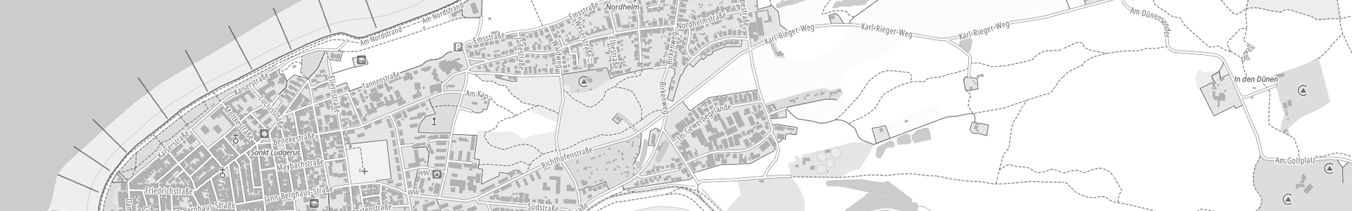
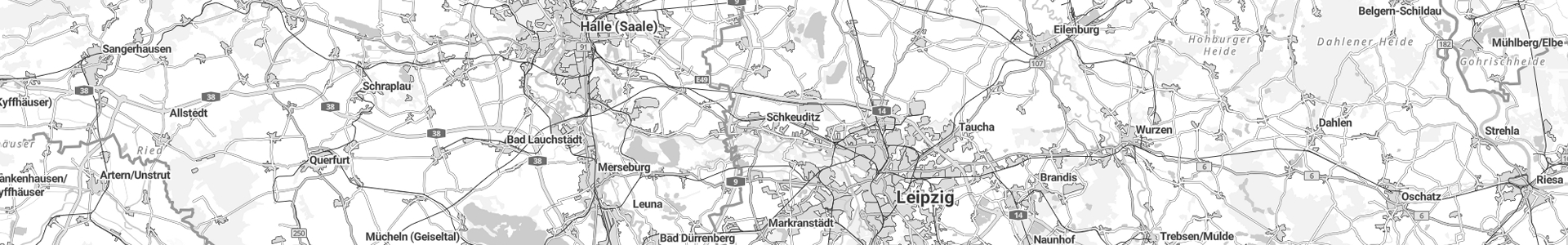
The raster tile archives are produced in the Web Mercator (EPSG: 3857), ETRS89 UTM32 (EPSG: 25832) and ETRS89 UTM33 (EPSG: 25833) projections and are provided via the Color and Gray layer services.
Viewer: The basemap.de web grid can be viewed via GDI-DE (geoportal.de) for the ETRS89 UTM32 projection.
The basemap.de web grid becomes updated quarterly. The current status of the map or the content can be found in the meta information of the service. The following continuously updated information is available for the data sources used.
The underlying Data model essentially corresponds to that of basemap.de web vector. Only the hillshading, the elevation layer representation and the contour lines are not included. Detailed information can be viewed at the following link.
The service or layers are given a legend that is automatically created based on the style files (JSON) used, so that changes to the characteristics can be immediately reflected in the legend.
Further information about the services and the product can be found in the AdV product specifications basemap.de web gridWMTS and WMS as well as the AdV product and quality standard basemap.de web grid be removed.
How can I address individual layers of the WMS or WMTS services of the Web Raster and Web Raster Hillshade raster maps?
Detailed information can be found in the respective documentation of the raster services (PDF Chapter 3.2 and PDF Chapter 3.2).
Can I embed the web map on my website (e.g. via i-frame)?
Yes, integrating the basemap.de web vector and web raster into your own website is permitted.
Can the raster map basemap.de Web Raster also be accessed via "http://.../Z/X/Y.png" (Slippy map tilenames)?
Yes, via the use of the tile matrix set GLOBAL_WEBMERCATOR. Example: https://sgx.geodatenzentrum.de/wmts_basemapde/tile/1.0.0/de_basemapde_web_raster_farben/default/GLOBAL_WEBMERCATOR/{z}/{y}/{x}.png
Can I adapt the basemap.de Web Raster web map to my needs?
No, the basemap.de Web Raster is pre-calculated grid tiles that cannot be edited later. However, the basemap.de web vector can be customized. Information about this can be found here: basemap.de web vector
How do I set my own symbols on the basemap.de Web Raster web map?
It is not possible to directly integrate your own symbols into the web map. However, additional symbols can be implemented via overlays.
Where can I find the metadata for the data and services you provide?
Meta information comes partly via the web services themselves (e.g. Capabilities), but can also be accessed via the BKG's Metadata Information System (MIS): LINK
Why are there differences in the timeliness of building data?
The building data (LOD1) is currently used from a nationwide central data storage system, which is updated annually by the states. We are currently working on making the building data available on a tighter timeline in the future.
How will I be informed about changes to basemap.de products and services?
About release notes and about the section news You can find out about product-related updates and changes.
My firewall blocks access to the products and services. Which IP addresses should I activate to use all services/products?
In order to be able to fully use all web services or products, your firewall or IT department should not block the following IP addresses:
DANGER: These IP addresses are only used to activate the firewall! The integration and use of the services and products should always take place via the URLs provided on the respective product pages.
Is there a possibility of routing or is this planned in the future?