Der Grundstein der basemap.de Produkt- und Dienstgruppe
Amtlich.
Aktuell.
Modern.
Flexibel.
Grundsätze und Philosophie des Verfahrens
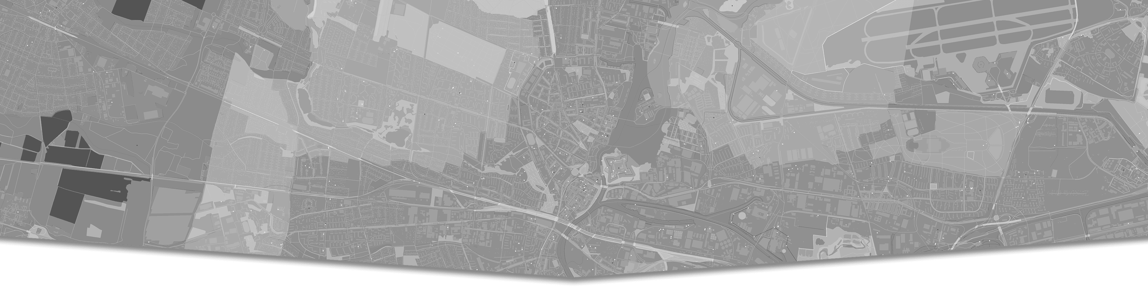
• Gemeinsame Verfahrenslösung von Bund und Ländern • Verbindung amtlicher Geobasisdaten aller deutschen Vermessungsverwaltungen und Geodaten aus amtlicher und nicht-amtlicher Sicht • Technische Plattform für die agile Entwicklung und den zukünftigen Betrieb unter Verwendung von Cloud-Technologie • Nutzung von Open-Source-Software • Einfaches, nutzerorientiertes Datenmodell für Geodaten • Entwicklung neuer AdV-Standard-Produkte - z.B. Webkarte (Vector Tiles)
Umsetzung
basemap.de wird in verschiedenen Realisierungsstufen auf Basis agiler Methoden mit Unterstützung eines externen Scrum Masters und mittels eigener Entwickler umgesetzt. Die Umsetzung erfolgt durch das Projekt Smart Mapping mit Beteiligten aus allen Vermessungsverwaltungen der Länder (AdV), des Bundesamtes für Kartographie und Geodäsie (BKG) sowie dem Zentrum für Geoinformation der Bundeswehr (ZGeoBw) und Dritten aus Wissenschaft und Forschung. In der ersten Realisierungsstufe ist ein Proof of Concept und die prototypische Umsetzung von amtlichen Geobasisdaten als Vector Tiles realisiert worden.
Highlights des neuen Verfahrens
• Neue und mobile Webkarten • Map on Demand • Neue Anwendungsmöglichkeiten für Nutzer • Einfache flexible Einbindung eigener Daten • Individuelles Styling • Einfaches und nutzerfreundliches Datenmodell • Gemeinsame Generalisierungsverfahren