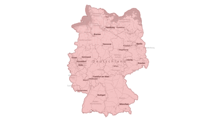
| Federal State | Download | Size (gigabytes) | Download | Size (gigabytes) |
|---|---|---|---|---|
| Brandenburg | bb.zip color | 72.2 GB | bb.zip Gray | 11.9 GB |
| Berlin | be.zip color | 2.8 GB | be.zip Gray | 0.6 GB |
| Baden-Württemberg | bw.zip color | 124.9 GB | bw.zip Gray | 17.2 GB |
| Bavaria | by.zip color | 222.1 GB | by.zip Gray | 29.8 GB |
| Bremen | hb.zip color | 1.5 GB | hb.zip Gray | 0.3 GB |
| Hesse | he.zip color | 77.1 GB | he.zip Gray | 10.3 GB |
| Hamburg | hh.zip color | 2.8 GB | hh.zip Gray | 0.6 GB |
| Mecklenburg-Western Pomerania | mv.zip color | 49.5 GB | mv.zip Gray | 7.9 GB |
| Lower Saxony | ni.zip color | 93.5 GB | ni.zip Gray | 16.6 GB |
| North Rhine-Westphalia | nw.zip color | 98.7 GB | nw.zip Gray | 15.0 GB |
| Rhineland-Palatinate | rp.zip color | 75.5 GB | rp.zip Gray | 9.9 GB |
| Schleswig-Holstein | sh.zip color | 37.7 GB | sh.zip Gray | 7.1 GB |
| Saarland | sl.zip color | 10.7 GB | sl.zip Gray | 1.4 GB |
| Saxony | sn.zip color | 50.5 GB | sn.zip Gray | 7.5 GB |
| Saxony-Anhalt | st.zip color | 42.0 GB | st.zip Gray | 6.6 GB |
| Thuringia | th.zip color | 56.7 GB | th.zip Gray | 7.4 GB |
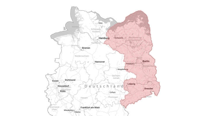
| Federal State | Download | Size (gigabytes) | Download | Size (gigabytes) |
|---|---|---|---|---|
| Brandenburg | bb.zip color | 72.2 GB | bb.zip Gray | 11.9 GB |
| Berlin | be.zip color | 3.0 GB | be.zip Gray | 0.6 GB |
| Mecklenburg-Western Pomerania | mv.zip color | 49.4 GB | mv.zip Gray | 7.8 GB |
| Saxony | sn.zip color | 69.8 GB | sn.zip Gray | 10.7 GB |