The increasing performance of clients and growing bandwidths enable the use of new web technologies, also in connection with geodata and map applications. Until now, maps have mostly been displayed on the web as pre-configured raster images. Increasingly, vector data is delivered to the client, which then displays (renders) it itself. This technology is based on VectorTiles, which are currently (unfortunately) available in various formats. A final standard has not yet been established, but the OGC is already working on it. As a result, there is still a lot of room for development both on the server side when providing data and on the client side when developing applications. SmartMapping was commissioned by the AdV to make these technologies usable with official data sources.
Proven basis
Both proven basic technology and new tools are used, here is an overview:
• Operating system: Debian Linux • Data import and processing: GDAL/OGR • Database: Postgresql / PostGIS • Vector Tile Engine: T-Rex • Web server: Apache HTTP Server • Geodata server: MapProxy • Viewer: basemap.de viewer based on MapLibre GL
who we are
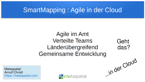
We are over 20 agile experts from geodata processing in the countries. These free us up to work in the AdV Smart Mapping working group (or at least part of our working time) to work on new geodata formats and technologies. We primarily come from surveying, software development, cartography, data management and many of us have already gained several years of experience in public administration and with official data. We are supported in the agile way of working by an external service provider who structures the meetings according to agile methods and also provides the development server.
How we work
We work agile. This is not so easy in a very distributed team. Since the beginning of 2020, we have also been working completely virtualized and without on-site meetings. We use selected Scrum artifacts, events and roles for the organization, which we implement minimalistically and highly efficiently with a calendar, wiki and Kanboard. The work is carried out in four-week sprints in eight teams with changing members, focusing on specific topics.
Communication takes place largely via Mattermost channels, via telephone and video conferences with logging and documentation in one. Some software interfaces and documentation are already derived directly from the source code. Meetings for the sprint review, retrospective and planning of the next sprint take place in video conferences and Mattermost channels.